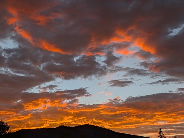
Workweek to warm and dry after more showers tonight and later Monday
Sunday, August 30, 2026






The sun has broken out this Sunday afternoon in Steamboat Springs after showers from yesterday afternoon through this morning brought between three-quarters and an inch of beneficial rainfall to the area. More showers are expected tonight and later Monday, including a possible dusting of snow along Colorado’s highest peaks, ahead of a warming and drying workweek.
A dubious milestone was reached last Thursday when the high temperature of 91 degrees tied the 2002 record of 29 days at or above 90 degrees. In 2002, there were 5 days in June, 19 days in July, and another 5 in August. The tally this year included none in June, 17 in July, the hottest month since the weather station began observations in 1893, and another 12 in August.
But today is comfortably cool with temperatures just passing 65 degrees, and though we should see sun for the rest of the afternoon, they will struggle to reach 70 degrees, well below the 79-degree average. The rainfall and cool weather resulted from monsoonal moisture rotating northward on the backside of high pressure over the Southeast interacting with a grazing area of low pressure now located in the Southern Canadian Plains.
Another round of showers is headed our way this evening as more monsoonal moisture moves overhead, with the season’s first dusting of snowfall possible on Colorado’s 14ers. We should see a drier start to Monday, with high temperatures reaching the mid-70s, before energy ejecting from a developing storm moving south through the Gulf of Alaska brings additional rainfall chances from Monday afternoon through the overnight.
The high pressure over the Southeast will be nudged eastward by both the Canadian Plains storm and the incoming Gulf of Alaska storm, severing the monsoonal moisture tap by Tuesday. Though the atmosphere will begin to dry, enough moisture will be around for possible showers on Tuesday, including the morning, with high temperatures staying below average and in the lower-to-mid 70s.
By midweek, the Gulf of Alaska storm, consisting of several pieces of energy, will rotate into the Pacific Northwest, with southwesterly winds ahead and south of the storm continuing to carry drier, warmer air overhead. Temperatures will rise to around average on a mostly sunny and breezy Wednesday, with only a slight chance of late-day showers.
Even more warming to the low-80s is forecast for Thursday, also breezy, with the long Labor Day weekend looking to start nice. However, a tropical disturbance is forecast to strengthen near Baja by the end of the workweek, possibly being carried northward by winds ahead of the stalled and evolving Pacific Northwest storm, and behind a building ridge of high pressure over the Great Plains.
Weather forecast models struggle with the interactions between mid-latitude and tropical storm systems, so the weekend’s weather is highly uncertain. Clarity will emerge as the weekend draws closer, and I hope to have more certainty by my next regularly scheduled weather narrative on Thursday afternoon.