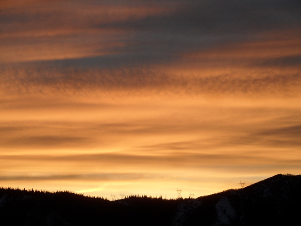
Warm and dry workweek to precede a grazing cool front on Friday
Sunday, January 11, 2026
Sunshine filtered through high clouds, and temperatures in the upper teens at all elevations are over Steamboat Springs this Sunday at noon, after twenty inches of snow fell at mid-mountain and twenty-eight inches at the top of the Steamboat Ski Resort between Wednesday night and Friday at noon. Daytime temperatures through Thursday will warm to around forty degrees in town and the upper twenties at higher elevations before dropping by around ten degrees on Friday as a grazing cool front brings a brief chance of light snowfall.
 Before getting to the quiet workweek forecast, I’d like to spend a little time dissecting the Steamboat Magic that occurred in the thirty-four hours between 2 am on Thursday and noon on Friday, when twenty-eight inches of snowfall were recorded at the top of Sunshine Peak at 10,384′.
 Shown are the Steamboat Powdercam and the infrared satellite throughout the duration of the storm at two-hour intervals, as well as the temperature and twelve-meter wind at Storm Peak Lab at the top of the Morningside Lift. The ‘+’ marker on the satellite indicates the location of Steamboat.
Note that it snowed almost continuously except between noon and 6 pm on Thursday when some dry air aloft moved overhead, as indicated by the satellite. I’ve briefly paused the animation at noon on Thursday to highlight this dry area on the satellite.
The storm consisted of two parts: the first, before the arctic front, at around 3 pm on Thursday, and the second, post-frontal. Note the cloud movement on the satellite, indicating upper-level winds from the southwest, which carried moisture over the first cool, and then cold surface air in bands.
Also note the subtle switch to our favorable mountain-top northwest direction at 6 pm on Thursday, coincident with the resumption of snowfall. The cold temperatures, falling to zero by Friday morning, allowed for efficient production of dendrites, the familiar branched snowflakes which create fluffy powder, as moisture from the warm air aloft fell into the cold air below. Note the gusty and erratic winds on Friday morning as downdrafts from showers disturbed the mountain-top winds.
Finally, that last burst of one inch per hour snowfall between 10 am and noon on Friday was the result of convection forming in the cold and unstable northwest flow behind the storm, as seen by the bubbly clouds on the satellite.
We are now left with a stretch of calm weather as a ridge of high pressure builds over the West. We may warm into the mid-thirties today, above our average of twenty-nine degrees, and reach around forty degrees through Thursday. A couple of grazing waves moving down the east side of the ridge will affect our weather this workweek, with the first weak one bringing just clouds on Tuesday night. But the second one is stronger and will move further west, bringing clouds and possible snow showers on Friday, along with dropping high temperatures around ten degrees, closer to average.
So enjoy a pleasant workweek, and I’ll have more details on the Friday wave and whether the cool air lingers to start the weekend in my next regularly scheduled weather narrative on Thursday afternoon.
Add comment
Fill out the form below to add your own comments


