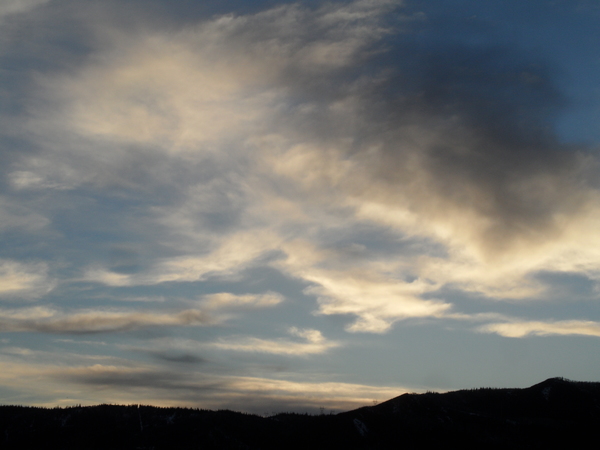
Current storm winding down with next one Friday
Sunday, January 21, 2018
The current storm is winding down late this Sunday even as snowfall rates picked up this afternoon for a time as some enhancement moved over our area. Showers will resume tapering off this evening and should end around midnight.
It will be a cold Monday morning, but a sharp ridge of high pressure will quickly pass through our area during the day and bring warming temperatures at the higher elevations and some sun.
Snow showers will begin anew Monday evening and last through the night as a weak storm to our north brushes northern Colorado. Weather models have trended weaker with these showers, though we may still be able to eke out an inch or two by Tuesday morning before the showers end and we see some sun by the afternoon.
Between the weak exiting storm Tuesday and the next larger storm for Friday, a ridge of high pressure builds over the Inter-mountain West and brings significant high-elevation warming and plenty of sun for Wednesday and most of Thursday. Low elevations will be slower to respond to the warming due to the presence of a temperature inversion, where temperature increases with height.
Meanwhile, our Friday storm will be pounding the the northern half of the West Coast midweek as the storm undergoes a modest split. Nonetheless, the southern part of the storm will travel through the Great Basin on Thursday and begin snow showers over our area as soon as Thursday night.
Moist northwest flow which is favorable for Mount Werner will be better established during this storm after the initial cold front passes around Thursday night, and snowfall looks to hang on through Saturday morning before tapering off starting Friday evening.
I fully expect changes to the forecast as we get closer to the event, especially with a splitting storm involved. Hopefully the details are ironed out by my next forecast on Thursday, but right now, I would guess 6-12” of snow is possible between Thursday night and a cold Saturday morning.
Weather models agree another transient ridge of high pressure will bring warming temperatures and sunny skies to our area behind the Friday storm by late in the weekend, until an even larger storm may grace our area around the following midweek.
Save your soles! If you do any walking in your ski boots on hard surfaces, then you know the grating and grinding sounds you hear can’t be good. In fact, worn boot soles make your binding unsafe as it interferes with the boot-binding interface. Cat Tracks are a flexible protector that keeps your boot soles pristine, and adds a cushion for walking comfort. When it’s time to click into bindings, I take them off and stash them in my coat pocket. Yaktrax
are similar, but I have not used them since they appear they would take up a bit more space in my jacket pocket. But you get a rocker sole that promotes a natural stride which may be worth the space sacrifice. If I did not have to carry them around all day, these would be my choice.
Add comment
Fill out the form below to add your own comments


