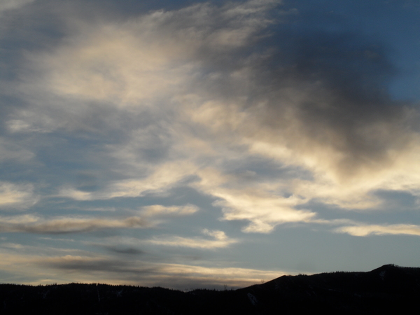
Nice before unsettled weather begins midweek
Sunday, November 17, 2019
Temperatures are already several degrees above our average of 40 F at the noon hour this sunny Sunday, and other than some clouds later today and tonight, clear skies and warm days will prevail through Tuesday. A couple of storms will affect our area from later Wednesday through Friday, and possibly into Saturday, before dry weather is advertised for the end of the weekend and the beginning of the next work week.
Part of yesterday’s weak storm was left behind near the Baja Peninsula, and this will spin undisturbed under a ridge of high pressure over the West for a couple of days. Meanwhile, a weak disturbance moving along the ridge of high pressure in northwest flow will increase moisture over northern Colorado tonight and early Monday, leading to some clouds and perhaps some high elevation snow flurries.
Behind the disturbance sunny skies will prevail for a gorgeous late-fall Monday and Tuesday, with warm daytime temperatures in the low fifties on Monday and high fifties on Tuesday.
A complex storm will travel over the West starting by midweek as a Pacific storm traveling across the Gulf of Alaska mixes with some cool western Canadian air and splits as it crosses the Pacific Northwest coast on Tuesday. The southern part of the storm will travel south along the West Coast and dislodge the old Baja storm to the northeast, bringing it across the Desert Southwest on Wednesday. Additionally, the bulk of the northern part of the storm sweeps across the northern Rockies and brings a cool front near northern Colorado later on Wednesday.
While we usually don’t do well with these southern storms unless they pass directly overhead, the proximity of the cool front makes for an uncertain forecast. Currently, light showers by Wednesday afternoon look to start as rain but turn to snow and become heavier by the evening and overnight as the cool front stalls near our area. Storm evolution and snow amounts are uncertain enough that I will defer guessing at this time, though at this point I expect that my usual Thursday afternoon forecast will be moved up a day and I will include guesses in that weather narrative.
Meanwhile, the storm that dislodged the Baja storm will itself be forced eastward near our area on Thursday by another incoming Pacific storm. Our weather will remain unsettled in the proximity of this storm, and weather forecast models are struggling with the speed and evolution of the eastward movement. The European ECMWF is currently forecasting a more elongated storm and slower movement that would keep cool and showery weather around into Saturday, while the American GFS clears us out on Friday.
In any event warmer and drier weather returns to our area behind the storm as a ridge of high pressure rebuilds over the West. This looks to persist through the weekend and into the following Monday before another storm that should be considerably colder is forecast to impact our area around the Tuesday before Thanksgiving, one of the busiest travel days of the year.


