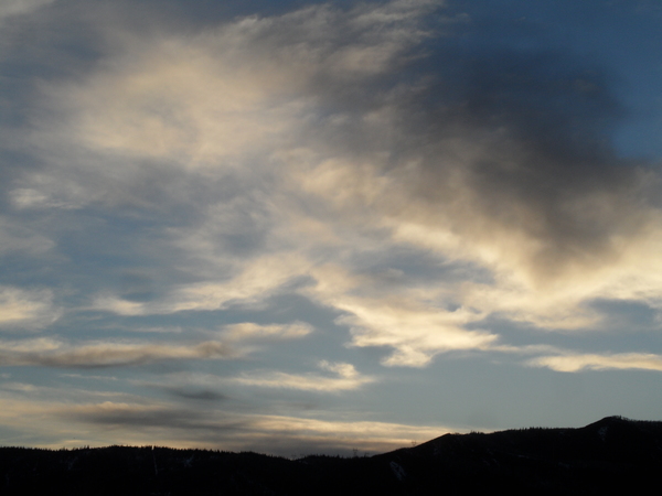
Much colder with light snow likely for the weekend
Thursday, December 26, 2019
Behind the modest Christmas Day storm in Steamboat Springs yesterday, a mix of sun and intermittent snow showers will continue today before we see more sun for Friday morning. But a much colder air mass is forecast to settle over our area for the weekend and heading into the new year with snows likely on Saturday that could persist through Monday.
In hindsight, the Christmas Day storm was disappointing to me as there were indications in a couple of models over several cycles that three bands of snow would pass over the Steamboat Springs area; in fact only one passed through mid-morning which did produce a quick two inches of snow. The afternoon band looked threatening for a while, though all we saw were clouds on the upper mountain, with some sun in the South Valley, and the evening band failed to materialize.
Even though my forecast numbers did verify on the lowest end, that the shorter-range models over-predicted the later-day snowfall is troubling from a forecasting perspective. In broad terms, the storm placement to our south never produced the favorable northwest flow for our area, so the forecast was too reliant on the evolving dynamics of the storm in the generally unfavorable flow for our area.
Moving on, another Pacific storm is currently affecting southern California and will move across the Desert Southwest on Friday. Additionally, a separate fast-moving Pacific storm currently near Vancouver has mixed with some very cold air from Alaska and western Canada. From tonight and through the weekend, the Vancouver and Desert Southwest storms will interact in a complex and hard-to-predict fashion over the West. While snow amounts for our area could surprise to the upside or downside, the cold temperatures on Saturday, Sunday and Monday are more certain.
So, some sun Friday morning should give way to increasing clouds as the Desert Southwest storm moves across Arizona. Snow showers should get going Friday night as the first cold front from the Vancouver storm moves through, with 1-3” possible for the Saturday morning report. Temperatures should fall through the day in cold northerly flow, approaching around 0 F by the time the lifts stop turning on Saturday, along with continued light snow showers that would leave another several inches.
Snows will persist overnight and into Sunday morning, leaving 2-5” of powder for the quite cold Sunday morning report. While they may end for a time during the day Sunday, light snow is forecast again from Sunday afternoon through Monday morning, with 1-4” of snow possible for the still-cold Monday morning report.
We should see another cold Tuesday morning, though temperatures should moderate during the day, especially at the higher elevations. There may or may not be snow showers for New Years Eve as a good-looking storm from the Pacific Northwest approaches. This is currently forecast to bring accumulating snows to our area for New Years Day, and I hope to have more clarity on this storm by my next weather narrative on Sunday afternoon.


