Dry weather ahead of storm cycle that starts midweek
Sunday, January 31, 2021
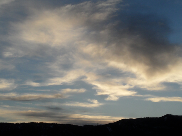
A temperature of 23 F at the Bob Adams airport, 17 F at the top of Mt. Werner and bluebird skies are over the Steamboat Springs area this Sunday noon. Warm and dry weather with lots of sun the next few days will be followed by a wet and very cold winter storm cycle that starts later Wednesday and continues into the weekend.
The Steamboat Ski Area is reporting 4.5” at mid-mountain and 11” up top from the storm that started early Saturday morning and ended in the afternoon. Though the updated phone reports during the day yesterday and the Steamboat Powdercam indicated otherwise, somehow the upper mountain totals this morning are correct and consistent with the excellent powder skiing yesterday afternoon.
A ridge of high pressure has built over the West behind the storm and ahead of our next one currently spinning in the Gulf of Alaska. The storm is in the process of mixing with some very cold air sourced from the North Pole and is bringing precipitation to the Pacific Northwest and northern California.
The evolution of the storm is still uncertain, as weather forecast models have been disagreeing with both themselves and each other. It now appears that the storm will undergo some sort of split early in the work week as it elongates along the West Coast, and contrary to most splitting storms, this split might actually be good for our area as it might divert some of the moisture from the storm around the Sierra Nevada mountain range and leave more for us.
Furthermore, it appears the majority of the storm energy will be in the northern branch, with the southern branch possibly forming an eddy that may get dragged along with the northern branch, similar to the American GFS, or get left behind for a few days west of the Baja coast as indicated in the latest European ECMWF Eventually, the southern branch does appear to bring some moisture into our area, though it is not clear if it is early or late in the storm cycle.
Current forecasts indicate moderate to heavy snowfall when the cold front associated with the northern branch of the split moves through our area later Wednesday. We may see lighter snowfall ahead of the cold front, and it does looks like we will see a windy period with winds from the west when the front moves through before it subsides a bit as the winds turn to be from the northwest behind the front.
By Thursday morning, we could be looking at 6-12” of snowfall, though making a snowfall forecast with such an uncertain evolution of the storm may be hazardous to my credibility!
Though we are forecast to be in favorable northwest flow through the weekend, there is dry air lurking to the southwest as a ridge of high pressure builds over the West Coast. Our area will be in the battle zone between warm and dry weather to the southwest, depending on what happens if that Baja eddy develops, and very cold air to our north. Ripples in the northwest flow will allow storms to track overhead, with breaks in the snow likely between the waves of energy and moisture.
Current forecasts have a short break in the snows around Thursday before a Pacific storm traveling through the Gulf of Alaska and over the top of the West Coast ridge mixes with some very cold air from western Canada and moves over our area around Friday. This has the potential to generate another round of significant snows as we head into the weekend.
I’ll stop talking about uncertainty for now, and caution to be prepared for a cold and wet storm cycle starting midweek and lasting into the weekend. Travel will almost certainly be difficult, or even impossible at times, so stay tuned to my next weather narrative, which I may publish on Wednesday, a day earlier than usual, as the weather pattern becomes clearer.
Add comment
Fill out the form below to add your own comments


