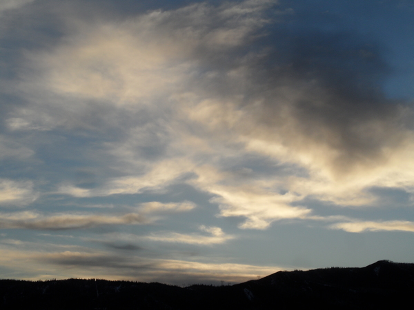
Small storm for Saturday
Thursday, November 18, 2021
After the coldest temperature of the season so far reached 9 F at the Bob Adams Airport early this Thursday morning, sunny skies with temperatures in the mid-forties are over the Steamboat Springs area this mid-afternoon. Warmer temperatures with some clouds on Friday will precede a small storm on Saturday with light snowfall possible at all elevations. The sun returns on a cool Sunday and will be followed by a nice and warm Monday, with unsettled weather back in our future as soon as Tuesday afternoon.
A storm currently crossing the Washington state coast will weaken and be pushed eastward across the Great Basin on Friday by an advancing ridge of high pressure developing in the Gulf of Alaska. While the storm will graze our area early Saturday morning, some incoming Pacific moisture and energy will slingshot around the southern portion of the storm and move across our area Friday morning.
Not much more than clouds are expected, with partly sunny skies and temperatures approaching fifty degrees returning for Friday afternoon. Incidentally, we’ve just crossed the forty degree mark for our average high temperature, so Friday’s high temperature will be close to or around ten degrees above normal.
Breezes from generally the west will increase Friday afternoon as clouds increase during the evening ahead of the main storm. Temperatures will be cold enough for snow when the best precipitation moves by early Saturday morning through noon or so. The storm has trended a bit stronger in the latest weather forecast models, and it looks like we could see an inch or two of snow down in the Yampa Valley with 3-6” at the top of Mt. Werner by Saturday afternoon. There could be briefly moderate to even heavy snowfall during this period which could make travel over Rabbit Ears Pass difficult at times.
Snowfall will quickly taper off after noon, though showers will continue through the afternoon in our favorable cool, moist and unstable flow from the northwest. Interestingly, the southern part of the storm is forecast to elongate into the Desert Southwest as it passes through on Saturday, eventually leaving some energy behind off the southern California coast that may be a player in our weather next week.
Another quick-moving but dry wave from the northwest will pass through Sunday morning after mixing with some cold air over British Columbia, so expect a cool and sunny Sunday with temperatures around average and similar to Saturday.
Much warmer temperatures are forecast to start the work week as that strengthening Pacific ridge of high pressure moves through, with unsettled weather possible by later Tuesday depending on what happens to the energy left behind the California coast and the next Pacific storm. I’ll have more to say about that and how it may affect the very busy travel period heading up to Thanksgiving in my next regularly scheduled weather narrative on Sunday afternoon.


