Two storms to bring unsettled weather to start the work week
Sunday, May 1, 2022
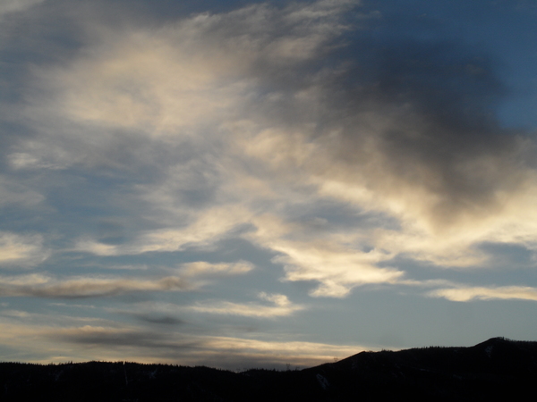
Temperatures around sixty degrees and cloudy skies are over the Steamboat Springs area this Sunday mid-afternoon. A couple of storms moving overhead tonight and Wednesday will bring good precipitation chances to our area with a small break on Tuesday between the storms. Beautiful springtime weather should return to close out the work week and begin the weekend though another strong wintry storm looks to arrive near the end of the weekend.
Two storm will affect our weather for the first part of the work week, with the first storm currently moving through the Great Basin and the second spinning in the Gulf of Alaska. Moisture and ascent ahead of the first storm has brought the cloudy weather today, with the cold front that is currently in eastern Utah expected to move through our area soon after midnight.
This storm will be warmer than our last storms, so while we may see some snowflakes in town overnight and perhaps early in the morning, accumulating snow looks to be confined to elevations above 8000′ or so. Numerous showers, some moderate to sometimes heavy are forecast along the front, and are expected to continue more intermittently in the favorable moist and unstable northwest flow behind the departing storm through the day Monday. I would expect 1-4” at mid-mountain between midnight tonight and sunset Monday, with a bit more near the top of the Steamboat Ski Resort.
We’ll see a break from Monday night through half of Tuesday as a ridge of high pressure quickly moves through the area ahead of the next stronger and colder storm. The cold front associated with the storm looks to pass through our area Tuesday afternoon accompanied by rain showers in town and snow showers at the higher elevations.
But the storm is cold enough to switch the rain to snow in town overnight and into Wednesday morning, and we may see an inch or two of snowfall accumulate on the floor of the Yampa Valley. Accumulations will be greater at the higher elevations, with 3-6” expected at mid-mountain between Tuesday afternoon and Thursday morning and more likely up top. Temperatures on Wednesday will be the coldest of the week, with high temperatures in town mired in the mid-forties, around fifteen degrees below our average of 59 F.
There is some weather forecast model disagreement on exactly when precipitation will end, with the European model hanging onto snow showers through Wednesday night while the American model has the storm over by then. In any event, they agree on clearing skies for a cool Thursday followed by lots of sun and warming temperatures to finish the work week and start the weekend.
There is agreement that another wintry storm will approach our area during the weekend, though it is unclear if the inclement weather arrives by Sunday or Monday. So stay tuned to my next regularly scheduled weather narrative on Thursday afternoon where I’ll be discussing the next likely significant opportunity to add to our seasonally diminishing snowpack.


