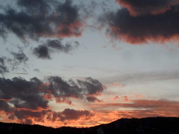
Storms to bookend this weekend
Thursday, January 19, 2023
A cold but partly sunny day is over the Steamboat Springs area this Thursday mid-afternoon with temperatures around fifteen degrees at all elevations. A grazing storm brings a small chance of snowfall to our area later Friday with a better chance later Sunday as a more potent, but still modest, storm moves through.
Over the last two days, the Steamboat Ski Resort reported 16” of snow at mid-mountain and 29” up top, substantially more than the 5-11” I was expecting at mid-mountain in the last Sunday weather narrative. I expected more showery snows on Wednesday as the storm eddy moved east, but more consistent snowfall during the day at rates around one inch per hour at times left 8” at both mid-mountain and the top. Additionally, the upper mountain powdercam showed some intense showers between 4:30 pm and 6 pm yesterday that dropped 6” of very low density snowfall, and the additional 4” that fell overnight was the cherry on top of the two day storm.
The atmosphere is now forecast to transition to a cooler and drier pattern as a ridge of high pressure builds in the Gulf of Alaska and over the West Coast and directs air from the northern latitudes over our area. But drier does not mean dry, and there will be several chances for snow this next week, with the first coming Friday as a storm current over Nevada moves eastward tomorrow along the southern Colorado border. The storm has formed an eddy, and our chances for precipitation will be meager on Friday night as the eddy skirts to our south and favors the southern areas.
As the eddy departs Colorado early in the weekend our next storm is forecast to cross the Vancouver coast on Saturday and split as it moves through the Great Basin on Sunday. As difficult as eddies are to forecast, split storms pose their own challenges, specifically with regards to how much moisture and energy are partitioned between the northern and southern streams. Right now, snows look to begin around Sunday afternoon as the southern end of the storm moves to the Four Corners by Monday morning and could linger over our area overnight.
There is also a chance that we see continued showers through Monday as the northern piece of the storm moves near. Snowfall amounts at this time look modest, and I’ll have some snowfall guesses in my next regularly scheduled weather narrative on Sunday afternoon.


