Pleasant weekend ahead
Thursday, March 7, 2024
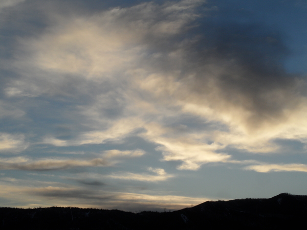
Temperatures are in the mid-thirties under partly sunny skies in the town of Steamboat Springs and near freezing at the top of the Steamboat Ski Resort this Thursday at noon. Showers are likely during the afternoons and evenings of today and Friday, though any accumulations are expected to be minor. A pleasant weekend with mostly sunny skies and warmer temperatures looks to be followed by a weak storm early in the work week and a stronger storm around midweek.
Most of the western half of the country is located under a broad and weak trough of low pressure. Several diffuse impulses of energy and moisture are forecast to move through this trough today and Friday leading to afternoon and evening showers for both days. Accumulations look to be minor, in the 1-4” range each period, as heavier showers could leave a quick inch or two if they pass overhead. Locally, the best accumulations look to be to our north toward the Wyoming border and over the Elkhead Mountains, while regionally, the southern and central mountains of Colorado look to receive significant accumulations.
A ridge of high pressure ahead of a complex storm brewing over the Aleutian Islands is forecast to move over the Rockies this weekend thanks to the eastward movement of the storm. There is some weather forecast model disagreement on the proximity of the driest air under the ridge this weekend, with mostly sunny skies expected if the dry air is close and some clouds if the dry air is further away.
High temperatures in town are forecast to cool into the low thirties on Friday, around ten degrees below our rapidly rising average of 42 F, thanks to cooler air associated with the trough, clouds and possible showers. But we should warm to around five degrees below average on Saturday and near average on Sunday as the warm air under the ridge of high pressure settles overhead.
Enjoy the nice weekend since unsettled weather returns for the work week thanks to the approaching Aleutian storm. This storm is forecast to evolve in a complex fashion as several waves of cold air from eastern Siberia interact with the storm over the weekend. Right now, a leading piece of the storm looks to bring light showers to our area later Monday with the bulk of the storm timed for Wednesday and Thursday. So be sure to check back to my next regularly scheduled weather narrative on Sunday afternoon for more details on our next likely significant winter storm next week.


