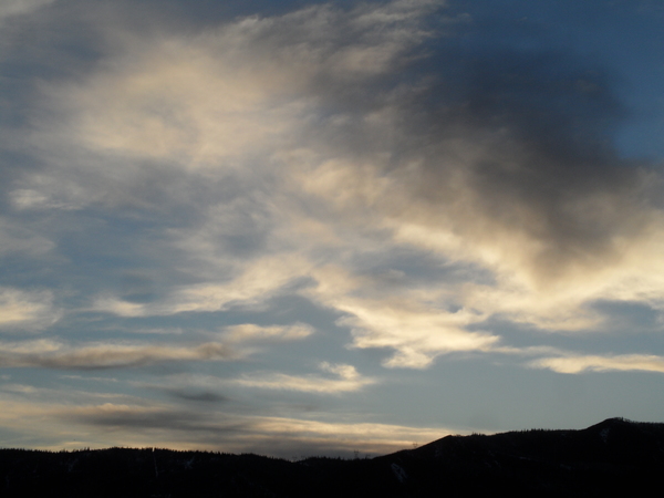
Wintry weather to return this weekend
Thursday, April 4, 2024
Temperatures are in the mid-forties in Steamboat Springs and upper-thirties near the top of the Steamboat Resort under brilliant blue skies late this Thursday morning. Warm temperatures will persist through Friday as winds increase ahead of a strong storm that will bring snow to all elevations starting Friday night and continuing through the weekend.
The ridge of high pressure responsible for our gorgeous spring weather extends from northern Mexico to the Canadian Plains and is sandwiched between two wintry storm systems over West Coast and the Northeast. This weather pattern is forecast to move eastward through the weekend due to the strong Pacific jet stream and another developing storm passing over the Aleutian Islands.
Temperatures approaching sixty degrees, almost ten degrees above our average of 51 F, are expected today under mostly sunny skies. While we will see similar temperatures on Friday, the approaching storm will have moved into the Great Basin and will affect our area with increasing winds from the south, with gusts as high as 50 mph possible during the afternoon.
The cold front associated with the storm should move through Friday night with moderate to heavy snow showers and the possibility of snow squalls, making travel difficult at times over Rabbit Ears Pass. Winds should briefly slacken late Friday night and early Saturday morning as the center of the storm passes near our area. We could see 4-8” of snow by the Saturday morning mid-mountain ski report with high temperatures in town plunging into the low thirties, almost thirty degrees colder than Friday, and high temperatures near the top of the hill near twenty degrees.
Snowfall is expected to continue on Saturday, but with increasing winds as the storm strengthens to our northeast. Wind gusts could reach 60 mph during the afternoon out of the northwest and west with another 1-4” of accumulating snowfall expected during the day.
Meanwhile, that Aleutian storm is forecast to make landfall along the Pacific Northwest coast Saturday night and move into the Desert Southwest by Monday even as the storm to our northeast moves over the Colorado-Wyoing-Nebraska border and continues to intensify. Snowfall should pick back up Saturday night or early Sunday as favorable cool and unstable moist northwest flow on the backside of the storm moves overhead with another 2-5” of accumulations possible by noon.
Temperatures are only expected to slowly warm starting Sunday as we are caught between the departing storm to our northeast and the storm moving eastward across the Desert Southwest, with some passing clouds and showers on Monday which may or may not interfere with the viewing of the partial solar eclipse over our area that will cover a maximum of 59% of the sun at 12:38 pm.
Be sure to check back to my next regularly scheduled weather narrative on Sunday afternoon where I’ll have more details on the viewing conditions for the Monday noon eclipse and when we may see spring return to the Yampa Valley after the wintry weekend blast.


