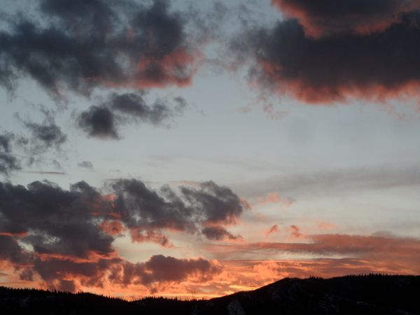
Cooler weather with some snow arrives midweek
Sunday, November 14, 2021
Partly sunny skies with temperatures around fifty degrees are over the Steamboat Springs area early this Sunday afternoon. More sun and warmer temperatures are forecast for Monday, while Tuesday sees another day of warm temperatures but increasing clouds ahead of a cold front Tuesday night. The cold air will be here by Wednesday, but moisture is lacking so snowfall will be meager. Thursday looks to start cold and will be dry, with more warming on Friday ahead of another chance for snow during the weekend.
An expansive ridge of high pressure is currently sandwiched between a low pressure area extending from the Gulf of Alaska southward to Hawaii and another extending from Hudson Bay southward through the Great Lakes. Some quite cold air has moved southward into the Gulf of Alaska and will be forced eastward by the eastward-moving area of low pressure over the Pacific, bringing a storm into the Pacific Northwest around Monday night.
The flow from the northwest that is currently over our area will dry over the rest of today and tomorrow and winds will turn to be from the west ahead of the Pacific Northwest storm. So look for mostly sunny skies on Monday with temperatures in the mid-fifties or even approaching sixty degrees, around fifteen degrees above our average of 42 F.
The main part of the storm is forecast to move through Washington and Oregon on Monday and northern Idaho and Montana on Tuesday, grazing our area with a cold front late Tuesday or early Wednesday. Winds and clouds will increase ahead of the front during the day Tuesday, with a chance for some showers with meager snow accumulations first at the higher elevations by Tuesday afternoon and then all elevations from Tuesday night through Wednesday morning.
We will go from high temperatures around fifteen degrees above average on Tuesday to five to ten degrees below average on Wednesday, but the moisture goes away behind the storm, along with any chances for more snowfall after Wednesday morning.
Thursday morning will start cold, but high temperatures will warm to near average under sunny skies as a transient ridge of high pressure moves through ahead of another storm forecast to cross the West Coast Thursday night.
This storm has a chance to bring cooler temperatures and some snowfall back to our area between Friday night and mid-Saturday, which is the day the Steamboat Ski Resort is scheduled to open. However, the coming two storms certainly won’t be game-changers, and our best snow for the week will be of the man-made variety. Stay tuned to my next regularly scheduled weather narrative on Thursday afternoon where I’ll discuss how that weekend storm is shaping up.
Add comment
Fill out the form below to add your own comments


